Maps
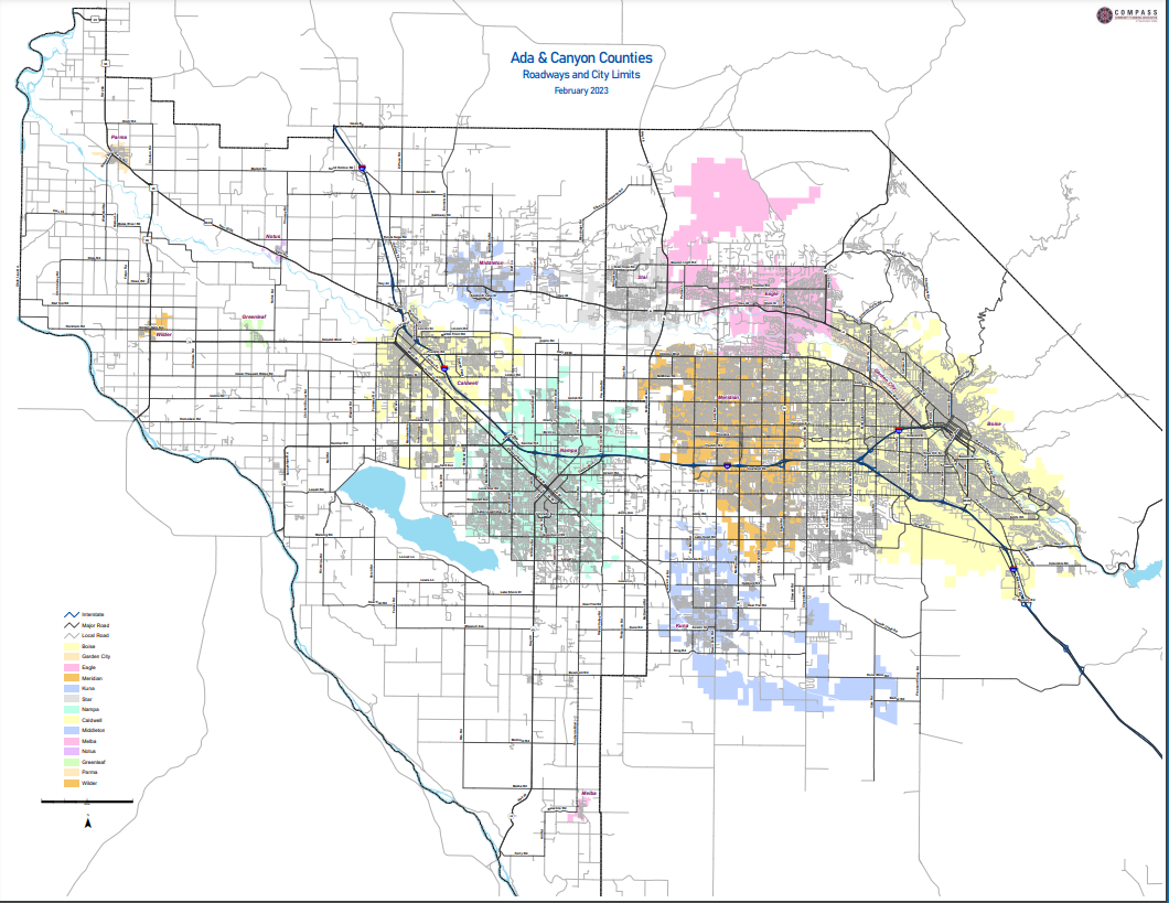
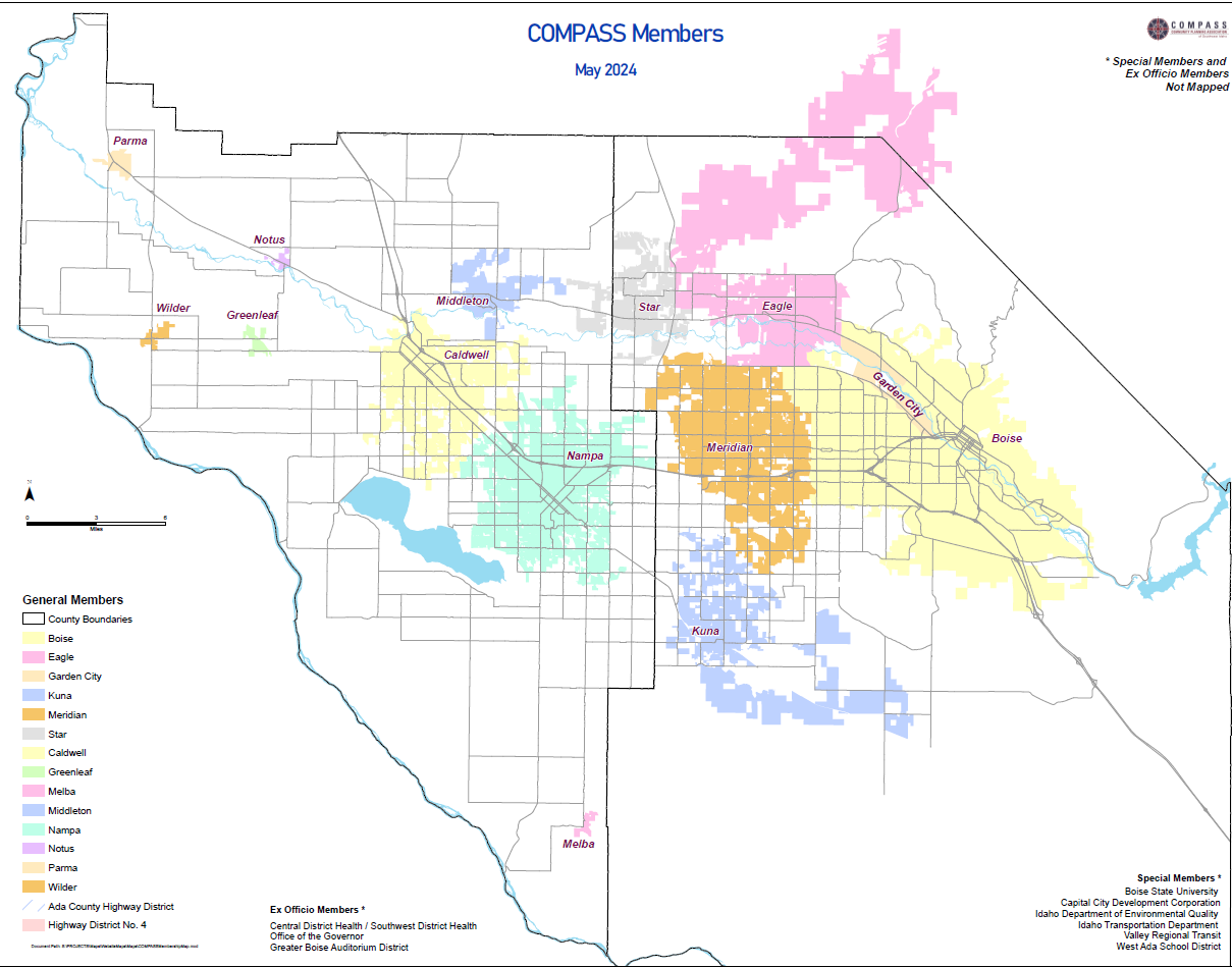
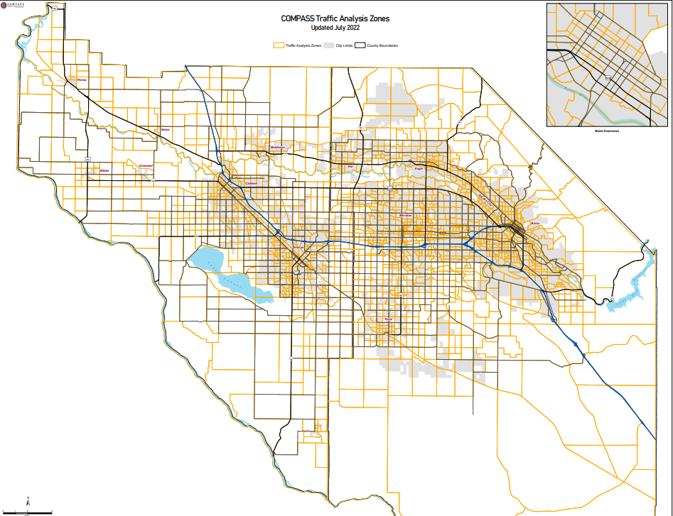
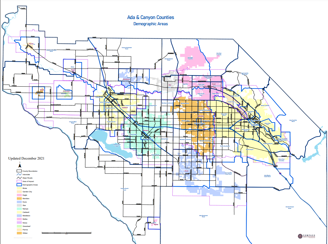
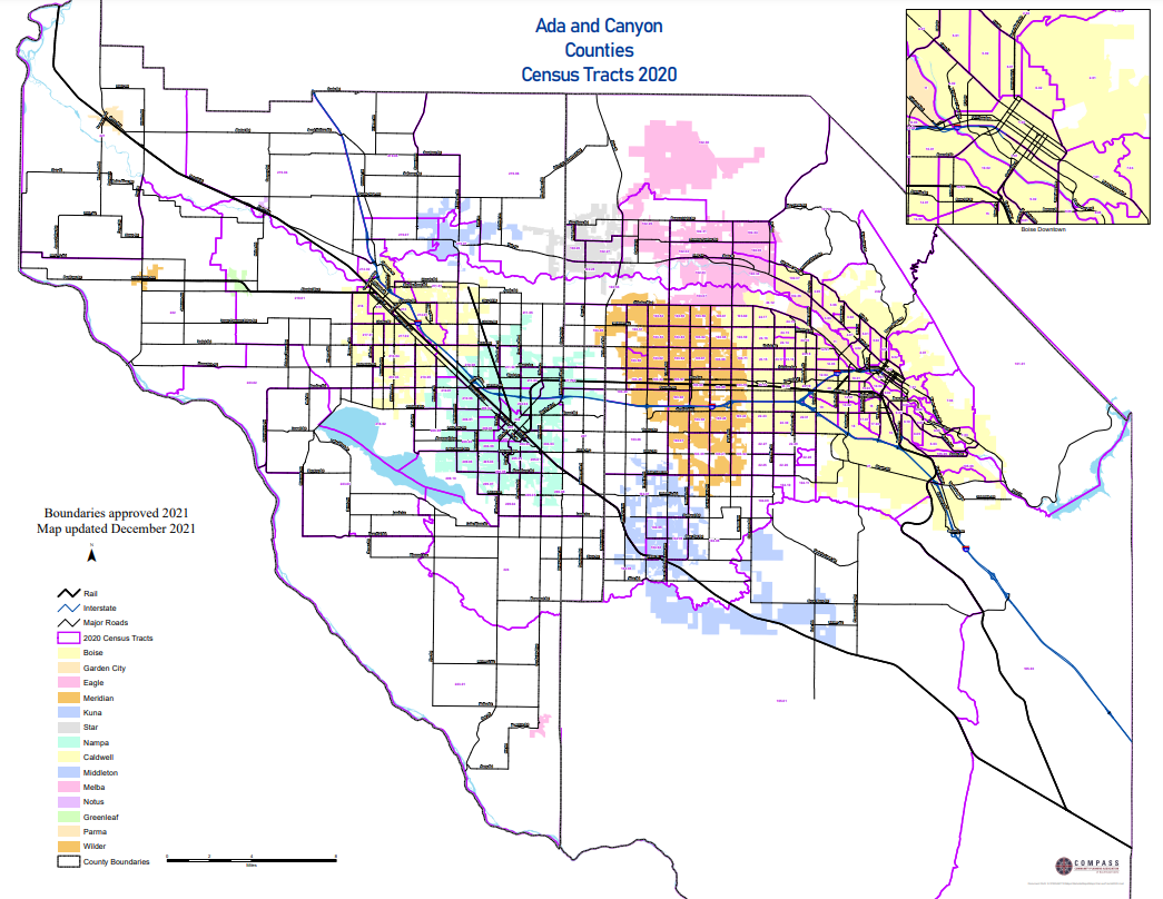
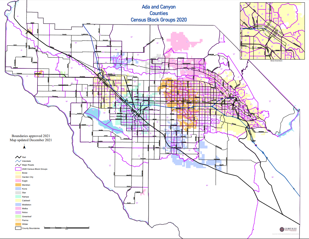
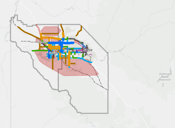
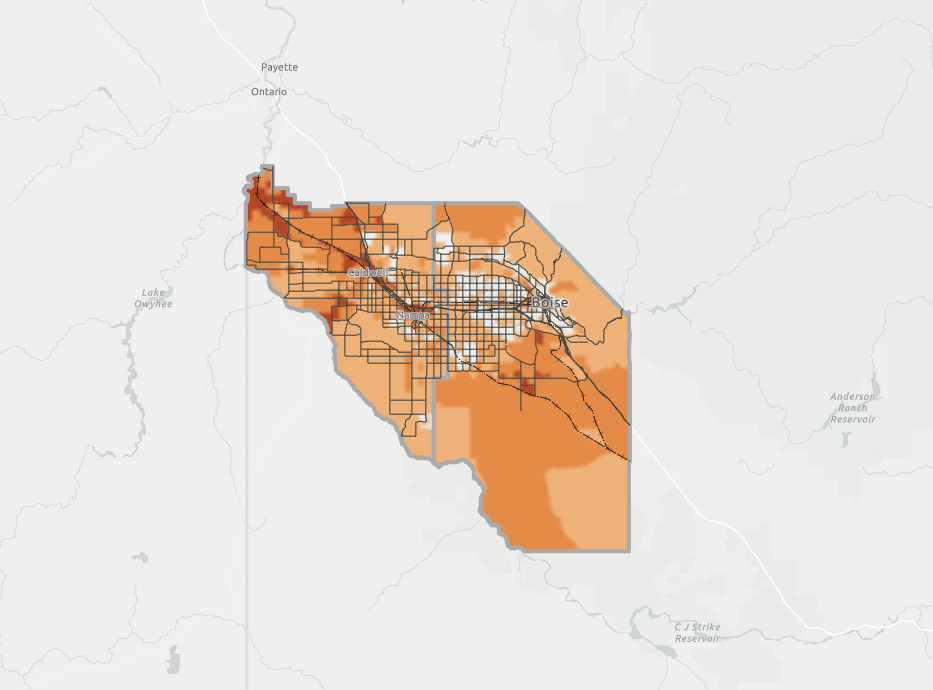
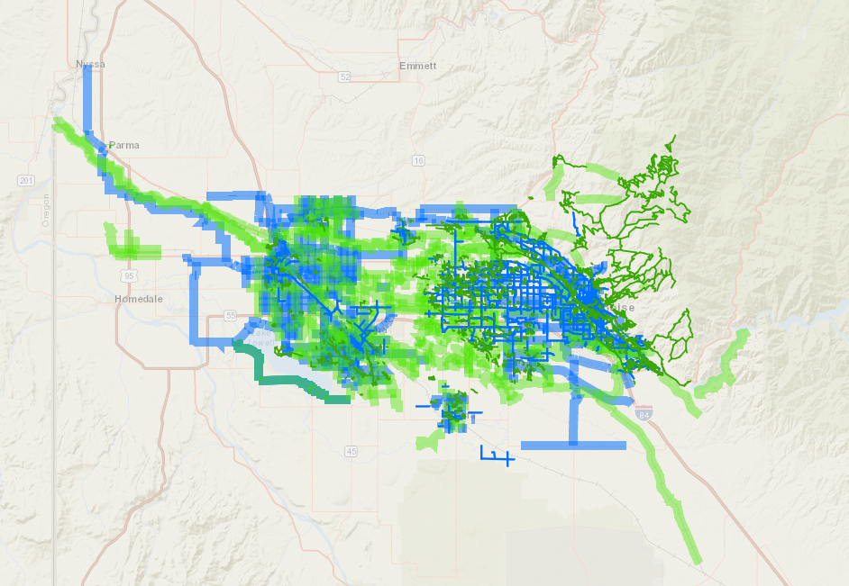
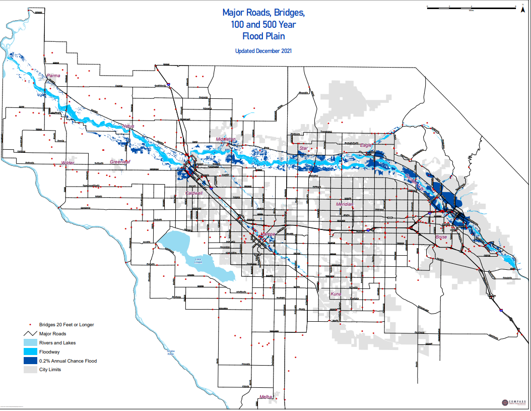
COMPASS produces standard maps, available for public access and download below. Additional interactive maps available at COMPASS’ open data site.
COMPASS also produces custom maps upon request. We maintain some data layers and receive regular distributions of “basemap” information from Ada and Canyon Counties. Consequently, our maps have the most current data layers available.
Custom maps and analyses can be ordered at COMPASS’ standard hourly rate, plus $15/map sheet. Maps and analysis can be provided in either digital or paper format. Contact COMPASS for assistance (see sidebar).
Click on thumbnail images below to open and download individual maps.

